Source data forms the basis for the information products that meet the information needs of the end user. Source data almost always consists of a combination of external data sources from suppliers and data managed by the organization itself.
GeolinQ provides central access to both the data of the suppliers and the data under its own management. Information products can be easily realized in GeolinQ, because data from the various data sources can easily be related to each other with the flexible data model.
Data from external sources may be made available by data providers through services. Through a link with configurable import processes, data from external sources can be accessed via the flexible data model in GeolinQ. Examples of external source data and data suppliers that are applied in practice are:
Data is supplied by data suppliers as files in various file formats. In GeolinQ files in various formats can be imported with configurable import processes from mounted file systems into the flexible data model.
Examples of data that are often supplied in files are:
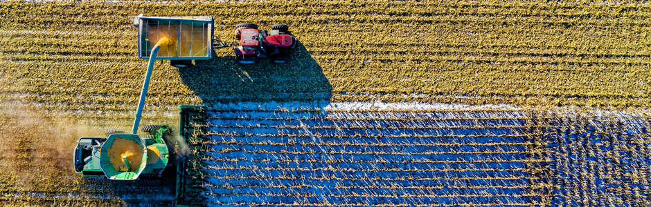
Measurements for a large area over a long period with different data providers often consist of a large number of files. The metadata for the data supplied, such as the date of collection, supplier and collection area, can be recorded and used as a selection criterion for compiling information products.
In many cases, the management of the collected data lies with the organization itself. Data is often managed locally in separate files such as spreadsheets and cannot be accessed centrally.
With GeolinQ, the management of your own data can be well organized by importing the separate spreadsheets and files and then managing them centrally in GeolinQ. Due to the flexible data model, the data structure of existing data and files can be easily copied and mutations of the data can also be recorded.
Often data is managed in a specific application such as an asset management system. In GeolinQ, a REST, WFS or database link with these applications can be configured so that the data from such applications is also centrally accessible.
With GeolinQ, collection, inspection and inspection applications can be configured so that end users can easily collect and manage data on location with a tablet. GeolinQ can also be linked to a GNSS receiver to determine an exact location. The location measurement is then directly visible on the map in GeolinQ and can optionally be linked to existing objects.
IntellinQ offers the data management platform GeolinQ for the easy collection, processing, and use of geographical data.